Hey, explorers! Ever wondered how close you are to a leafy park, a hospital, or a theater in Budapest—without hopping in a car? Say hello to the Kompakt Város (Compact City) interactive map, your new best friend for navigating the city like a local. Launched to make Budapest more livable, this slick tool shows you what’s within a 5-, 10-, or 15-minute reach from any spot—whether you’re on foot, zipping around on a scooter, or pedaling a bike. It’s all about unlocking the city’s green spaces, services, and cultural hotspots, and I’m here to tell you why it’s a game-changer for travelers and residents alike in 2025!
What’s a “Compact City” Anyway?
Let’s break it down. The “compact city” or “15-minute city” idea is all the rage globally, and Budapest’s jumping on board. It’s about designing urban life so everything you need—think healthcare, shops, parks, or a good play—is just a short stroll or ride away. Instead of sprawling into far-flung suburbs, people live closer to the action, ditching cars for bikes, public transit, or their own two feet. The payoff? Less traffic noise, cleaner air, and streets that feel alive with people, not just exhaust fumes. Budapest, with its mix of historic charm and modern hustle, is prime for this shift, and the Kompakt Város map is here to prove it.
This isn’t just dreamy urban planning talk—it’s practical. Budapest’s got the bones for it: a dense, walkable core, trams rattling along, and bike lanes popping up everywhere. The map takes that potential and puts it in your hands, showing how the city’s infrastructure can work for you, not against you. Whether you’re a tourist plotting a quick adventure or a local optimizing your daily grind, it’s like having a personal guide to Budapest’s best-kept secrets.
How the Map Works Its Magic
Here’s the fun part: head to the Kompakt Város map (linked here: budapestkozut.maps.arcgis.com/apps/dashboards/23c7eccdf5444f5287d879a29ee880f9), pick your starting point—your hotel, Airbnb, or even a random café—and watch it light up with options. Want to know where the nearest park is for a picnic? Done. Need a hospital in a pinch? Covered. Craving a theater night? It’s all there. You can filter by category—healthcare, culture, green spaces, shops, you name it—and set your travel time to 5, 10, or 15 minutes. Then choose your mode—walking, scootering, or biking—and boom, the map draws a radius of what’s in reach.
Say you’re staying near Deák Ferenc Square, Budapest’s central hub. Plug it in, set a 10-minute walk, and you’ll see you’re steps from Vörösmarty Square’s markets, the Danube’s riverside paths, and even a hidden gem like the Pesti Vigadó theater. Switch to biking, and you’re hitting City Park or the Buda Castle district in no time. It’s like a treasure hunt where the prize is discovering how connected Budapest really is.
Why It’s a Traveler’s Dream
For visitors, this map is gold. Budapest’s a stunner—think grand bridges, thermal baths, and ruin bars—but getting around can feel overwhelming if you don’t know the lay of the land. The Kompakt Város map cuts through the noise, showing you how to maximize your time without relying on a car or getting lost in transit schedules. Want a quiet park to unwind after pounding the pavement? It’ll point you to Károlyi Garden or Erzsébet Square, both green oases in the city center. Need a quick clinic for a travel hiccup? You’ll find options like the Szent István Hospital within reach. And if culture’s your jam, theaters like Örkény or Katona József are just a hop away from many downtown spots.
It’s not just about convenience—it’s about living Budapest the way locals do. Ditch the tourist traps and weave through neighborhoods on foot or bike, stumbling on spots like the leafy Margaret Island or a quirky playhouse you’d never find otherwise. With over 12 million visitors flooding the city in 2024, tools like this are key to dodging the crowds and finding your own slice of Budapest magic.
A Boost for Budapest’s Green Side
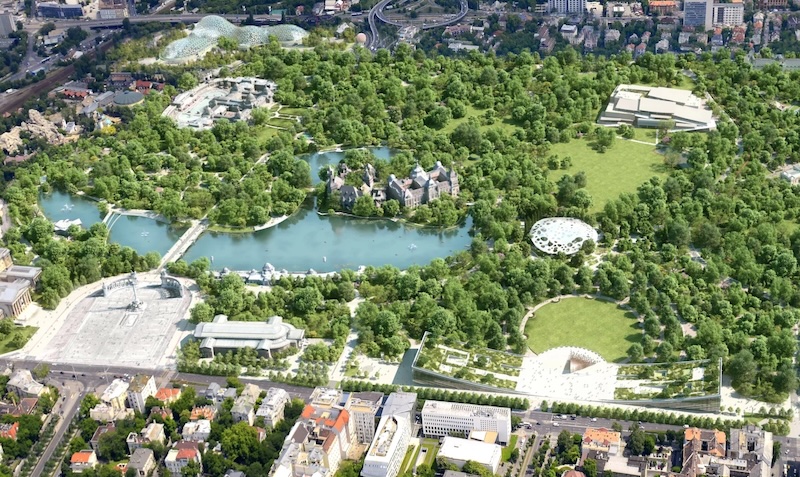
One of the map’s coolest perks? Highlighting green spaces. Budapest isn’t just concrete and cobblestones—it’s packed with parks and riverfronts that travelers often miss. From Népliget’s sprawling lawns to the tucked-away Orczy Park, the map reveals how close nature really is. Imagine sipping coffee by the Danube or biking to Gellért Hill for that killer view—all within 15 minutes of wherever you’re crashing. It’s a nudge to slow down, breathe deeper, and enjoy a city that’s pushing for cleaner, quieter streets.
Take the 5th district, for example. A 15-minute walk from the Basilica puts you at Szabadság Square’s greenery or the riverside promenade—perfect for a sunset stroll. Over in Buda, a quick bike ride from Bartók Béla Boulevard lands you at Feneketlen Lake, a peaceful spot locals adore. The map is a love letter to Budapest’s lungs, showing how easy it is to escape the urban grind without leaving the city limits.
Practical Tips for Using It
Ready to give it a spin? Open the link on your phone or laptop, zoom into your location (or type an address), and play with the settings. Filters let you zero in on what matters—hospitals for peace of mind, theaters for a night out, or parks for a breather. The interface is smooth and intuitive, even if you’re not a map geek. Pro tip: save a screenshot of your radius for offline use—handy when you’re roaming without Wi-Fi. And if you’re biking or scootering, double-check the routes—Budapest’s bike lanes are growing, but some stretches still share space with cars.
Pair it with a day exploring: start at Kálvin Square, map out a 10-minute walk for coffee spots, then bike 15 minutes to the Palace of Arts for a concert. Or, if you’re near Keleti Station, see how fast you can hit Rákóczi Square’s market vibes. It’s like a mini city planner in your pocket, tailoring Budapest to your pace.
Why It Matters in 2025
This map isn’t just a cool toy—it’s part of Budapest’s big push to rethink urban life. With traffic clogging the streets and air quality on everyone’s mind, the compact city model is a lifeline. It’s about making services accessible, cutting car dependency, and reclaiming public spaces for people, not parking. For tourists, it’s a chance to see Budapest evolve in real time—less honking, more biking, and a greener vibe by the day. Plus, with 2025 shaping up as another blockbuster year for visitors, this tool helps you stay ahead of the curve.
So, next time you’re in Budapest, fire up the Kompakt Város map and explore. Whether it’s a park to picnic in, a theater to catch a show, or a clinic just in case, it’s all closer than you think. What’s your go-to Budapest spot? Drop it below—I’d love to hear how you’d use this map to find it!